Hydrographic Survey
Offshore positioning, geophysical, and geotechnical survey support for rigs, vessels, and subsea operations.
Make a Service RequestGEOACE Nigeria Limited offers survey services across a wide range of offshore activities, working on mobile assets ranging from rigs and vessels to ROVs and subsea installations.
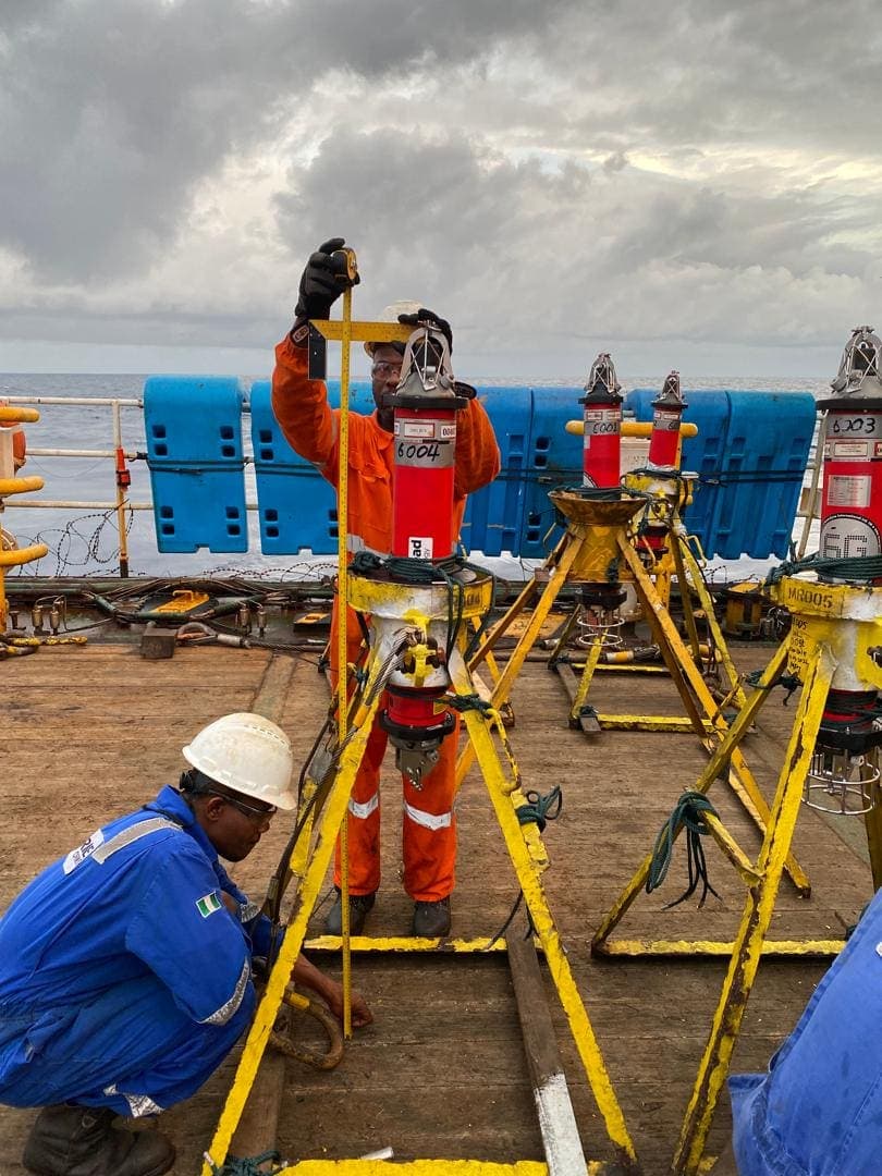
Our offshore capabilities span positioning support (rig, vessel, ROV and subsea positioning, tug management, LBL and USBL positioning, deep water operations), geophysical survey and consults (hazard surveys, pre- and post-lay surveys, pipeline surveys, rig move surveys), geotechnical survey and consults (CPT, coring, drill sampling, grab sampling), construction support for offshore builds, well support services (well positioning, jumper metrology, LBL underwater positioning), and pipelay and pipeline support services (laying, inspection, free span correction).
Offshore survey support in Nigeria
We work offshore Nigeria, including in deep water, on fields such as Bonga, Egina and Akpo, for operators and contractors including TOTAL Energies and SNEPCO.
What we do offshore
- Rig and vessel positioning: rig moves, tug management and the positioning of drilling and construction vessels.
- Subsea positioning and metrology: LBL and USBL positioning, ROV and well positioning, tophole positioning, well marking and jumper metrology.
- Bathymetric and geophysical surveys: seabed mapping, hazard surveys including 2DHR seismic, and pre- and post-lay pipeline surveys.
- Geotechnical surveys: CPT, coring, drill sampling and grab sampling.
- Construction and pipelay support: pipeline laying, inspection and free span correction.
- Monitoring: seabed subsidence monitoring over producing fields.
Common questions
What is a hydrographic survey? It measures and maps the seabed and the water above it: depths, the shape of the seabed and what lies on it. It is used for safe navigation, offshore construction, pipelines and drilling.
What is the difference between LBL and USBL positioning? Both fix positions under water using sound. USBL works from a single transceiver on the vessel and suits tracking ROVs and equipment. LBL uses a network of transponders placed on the seabed and gives the higher accuracy needed for metrology and well positioning.
Do you work in deep water? Yes. Recent work includes positioning and metrology on the Bonga, Egina and Akpo fields.
Our Hydrographic Survey services
Vessel and rig positioning
We provide positioning support for offshore activities on many types of mobile assets, from rig moves, vessel positioning and mooring operations to tug management.
Offshore construction support
We provide engineering survey support for offshore construction, using the latest survey technology to achieve the accuracy each project requires.
Bathymetric and geophysical surveys
We provide geophysical survey services such as hazard surveys, pre-lay and post-lay surveys, pipeline surveys and rig move surveys.
Geotechnical surveys
We provide geotechnical services such as CPT, coring, drill sampling and grab sampling, to the client’s specification.
Subsea positioning (LBL and USBL)
With a major part of oil and gas prospecting moving to deep water, GEOACE is positioned to give subsea positioning support. Our seasoned survey team offers positioning solutions for subsea operations such as ROV inspection, subsea maintenance, diving support and top-hole positioning.
Past Projects
See all projects →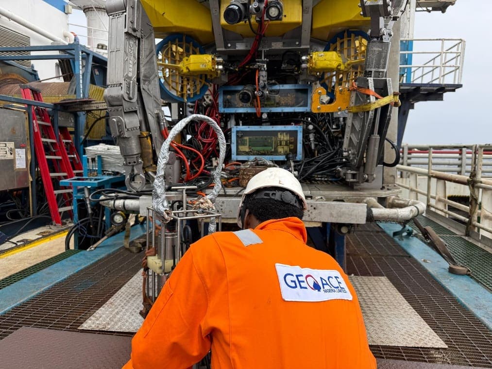
Subsidence Monitoring — Akpo/Egina
For TOTAL Energies
Akpo/Egina Field · Jul 2026
Subsea Jumper Metrology — Bonga North
For SNEPCO Bonga Development
Bonga North OML · Jun 2026
SNEPCO Bonga North Well Marking
For Sulmara Subsea Limited UK
Bonga North OML · Oct 2025
SNEPCO Bonga Riserless Well Intervention
For Ejovi Offshore
Bonga South OML · Jul 2025
Well Head Tophole Positioning and Drilling Support
For TOTAL Energies
Egina/Akpo OML · Jan 2025
Total Egina Top Hole Positioning and Drilling Support — West Jupiter
For Geodetic Offshore Services Ltd / TOTAL
Egina Field · Feb 2019
2DHR Seismic Hazard Survey — Batoil Beagle 1
For Zenilum Company Limited / First E&P
Nigeria offshore · Jul 2018