
Full-Service Land & Hydrographic Surveying in Nigeria
GEOACE Nigeria Limited delivers quality survey, GIS, and engineering solutions onshore and offshore — for oil & gas, energy, agriculture, civil and town planning, and logistics clients across Nigeria.
Explore Our ServicesWhy Clients Work With Us
Our Services
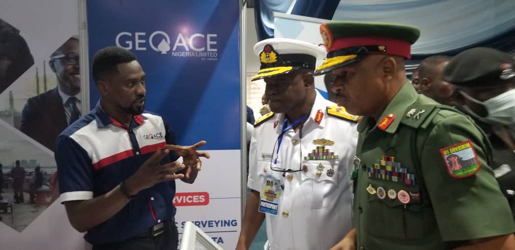
Consultancy & Training
Bespoke technical training and consultancy for clients building in-house survey capability.
Learn more →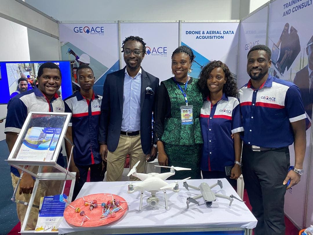
Drone & Aerial Data Acquisition
Drone-based data capture for construction monitoring, inspection, and real-time progress tracking.
For: Photogrammetry mapping, 2D and 3D · Site inspection and construction support · Construction workflow and progress tracking · Emergency response support and 4 more
Learn more →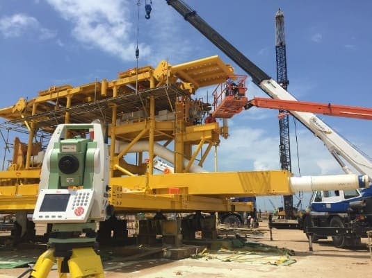
Engineering Surveys
Dimension control and engineering survey support for construction, fabrication, and installation projects.
Includes: Civil and road work surveys · Geotechnical engineering · Site set-out and design compliance verification · Quality control of construction projects and 6 more
Learn more →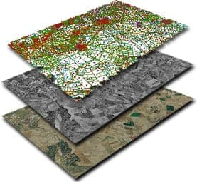
GIS & Mapping
Geo-solutions built on satellite imagery, remote sensing, and bespoke GIS analysis.
For: Asset tracking and management · Feasibility studies · Location studies · Database management and 1 more
Learn more →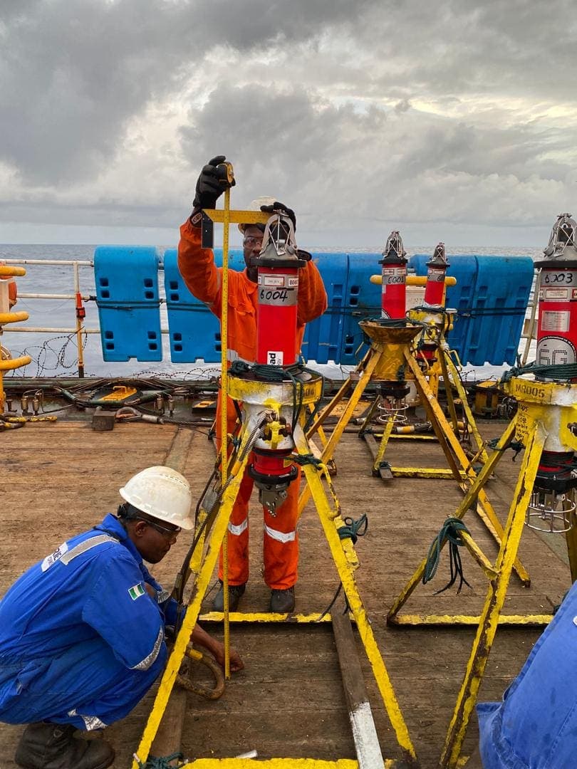
Hydrographic Survey
Offshore positioning, geophysical, and geotechnical survey support for rigs, vessels, and subsea operations.
Includes: Vessel and rig positioning · Offshore construction support · Bathymetric and geophysical surveys · Geotechnical surveys and 1 more
Learn more →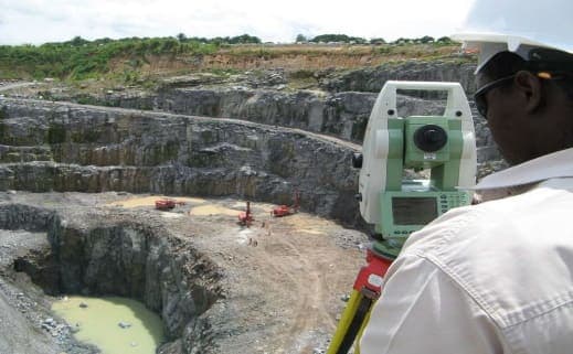
Land Survey
Cadastral, topographic, and boundary surveys for land and property management across Nigeria.
Includes: Cadastral surveys · Setting out and site layout surveys · Boundary and perimeter surveys · Right of way and pipeline route surveys and 6 more
Learn more →Registrations & Certifications



Clients & Partners